


اخبار العرب-كندا 24: الأحد 7 ديسمبر 2025 10:20 مساءً
Several parts of the province are expected to see a wet and cold start to the week as Environment Canada has issued several rainfall and snowfall warnings.
The Peace River District, the Fort Nelson area, the area surrounding Williston Lake, and the North Coast are under snowfall warnings, with between 10 and 20 cm of snow expected on Monday.
The warning says travel will be challenging and, at times, there will be reduced visibility.
Advertisement
Advertisement
Advertisement
Advertisement
Pine Pass, a stretch of Highway 97 in the North, has a winter storm warning into Tuesday morning.
A stretch of Highway 3 near the Kootenay Pass in the southern Interior also has a winter storm warning.
The alert says weather in the mountains can change suddenly resulting in hazardous driving conditions, and warns drivers to allow extra time for travel and to use winter tires and chains.
Rain on the coast
Meanwhile, parts of Metro Vancouver will see between 50 and 70 mm of rain starting Sunday evening into Monday evening, with the heaviest period of rain being Monday morning.
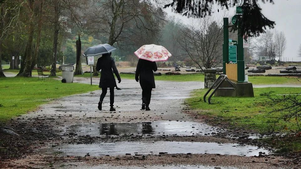
A pair takes a walk down the Locarno Beach path after heavy rain in Vancouver. (Christer Waara/CBC)
This includes West Vancouver, North Vancouver, Coquitlam, Pitt Meadows, Maple Ridge, the Howe Sound, and up the Sea to Sky Highway to Brandywine.
Advertisement
Advertisement
Advertisement
Advertisement
Environment Canada says water will likely pool on roads and in low-lying areas, and visibility will be reduced.
B.C.’s Central Coast will see up to 100 mm of rainfall by Monday night. Environment Canada warns people in this region to watch for washouts near rivers, creeks and culverts.
The most up-to-date information on weather warnings is available on Environment Canada's website.
تم ادراج الخبر والعهده على المصدر، الرجاء الكتابة الينا لاي توضبح - برجاء اخبارنا بريديا عن خروقات لحقوق النشر للغير